Triborough Bridge

Connecting Manhattan, the Bronx, and Queens, the Triborough Bridge links these three boroughs and forms an important transportation link between Long Island, New England, New Jersey, and the city. The bridge was a marvel of engineering and led to the rise and fall of Robert Moses.

The three bridges come together on Wards and Randalls island. Built between 1929 and 1936, the bridge complex was designed by Othmar Amman connecting the island to Manhattan with a lift bridge, the Bronx with an arch-type bridge, and a suspension bridge connecting Queens. The project actually almost never happened until Robert Moses was placed in charge, getting the complex and politically charged bridge finally completed. You can read more about the Triborough Bridge on the Sights by Sam entry on Robert Moses.

In 2008, the bridge was renamed after assassinated New York Senator Robert F. Kennedy. The bridge typically handles over 160,000 cars every weekday. It is one of the most popular routes for motorists to get to LaGuardia Airport in Queens. This is the type of information you will learn on a Sights by Sam tour.

Industry in New York

In today’s society where many manufactured goods are made in the South and West of the U.S. or come into the country in containers on great ships, manufacturing in New York City seems to be a foreign concept. On the contrary, the city has a long and industrious (no pun intended) history.

Being at the epicenter of a major port and with an incoming labor from overseas and across the country, New York became a major industrial hub. Manufacturing was concentrated on the West Side of Manhattan and in Brooklyn, among other locations. The industrial heritage of the city is still evident in the many lofts that dot Lower Manhattan, Williamsburg, and the Brooklyn waterfront. Unlike many other cities, New York had many varied industries, which helped the city weather downturns in a particular industry. With that said, the industries tended not to be heavy such as steel manufacturing—with concentration on food processing, consumer goods and durable goods among others.

From a high point in the first half of the 1900s, manufacturing declined over time in the city due to a combination of companies moving to Right to Work states in the South and West, the rising price of real estate in the city/confined building sites, and more liberalized international trade. Statistics by the Wall Street Journal indicate that manufacturing employs a little under 80,000 in the city—far down from 190,000 thirty years ago. Statistics indicate that this sector is growing in the city and is focused on high end goods. This is the type of information you will learn on a Sights by Sam tour.

Queensboro Bridge

Built in 1909, the Queensboro Bridge (also called the 59th Street Bridge or the Ed Koch Bridge) spans the East River and connects Queens with Manhattan. The bridge was the third across the East River and designed by Gustav Lindenthal, with collaboration by Henry Hornbostel and Leffert Buck, who designed the Williamsburg Bridge. The Manhattan approach to the bridge has space under it done up in Guastavino tiling.

The Queensboro Bridge is over 3700 feet long and is distinctive as it is a cantilever bridge. It connects two formerly industrial areas—the East River frontage of Manhattan and Long Island City in Queens. The bridge also has anchorages on Roosevelt Island. Between 1930 and 1955, an elevator existed midway on the bridge to allow streetcar passengers to access Roosevelt Island (streetcars would stop midway on the bridge to pick up and drop off passengers who would then access the island this way). Like other bridges in New York, this bridge suffered from decay, but was restored between the late 1980s and 2000s. It was named after former Mayor of New York Ed Koch in 2010.

Today, over 170,000 vehicles use the nine lanes of traffic on this bridge to pass between the two boroughs daily. As there is no toll for this bridge, its traffic volume is considerable. It is believed (though unsubstantiated) that one of the first indoor baseball games took place under the Manhattan end of the bridge in the 1910s using the Queensboro Bridge as a “roof.”This is the type of information you will learn on a Sights by Sam tour.

Christmas and Holidays in New York

With the beginning of November, the focus of many becomes the holiday season. Christmas lights go up, ads with fashion models in holiday colors appear on billboards and on public transportation, and store windows along Fifth Avenue go to war with each other over which is the most over-the-top display of Season’s Greetings. As New York is the country’s largest city, it lays claim over several important Christmas traditions.

In the press and writing, New York can lay claim to one of the first modern interpretations of Santa Claus through NYC native Clement Clark Moore’s 1823 poem, “A Visit from Saint Nicholas,” which describes the lovable Santa Claus most people recognize delivering gifts from house to house on his sleigh pulled by reindeer. Santa’s existence and reputation was solidified in an 1897 editorial from the New York Sun, entitled “Yes, Virginia, There is a Santa Claus.” This editorial, reprinted on Christmas Day by most New York papers, is believed to be the most reprinted editorial in history. Many neighborhoods ring in holiday cheer with residents of some Brooklyn neighborhoods such as Dyker Heights and Bensonhurst putting up large Christmas and holiday light displays in front of their homes.

Perhaps the quintessential symbol of the holiday season in New York is the Christmas Tree at Rockefeller Center. The first tree was a small, 20 foot tree raised by construction workers at Rockefeller Center in 1931 by workers building the complex. First raised officially in 1933, the tree is usually a Norway Spruce between 70 and 100 feet tall. In recent years, it has been harvested from New York State or a neighboring state, but it has come from further afield in the past. The tree, which is crowned by a massive star made of Swarovski crystal, is up for display in the middle of November and lit the day after Thanksgiving. The tree is in the court in the middle of Rockefeller Center and is near the famous ice rink, a must-see for any visitor to the city during this time.

Many visitors come to New York this time of the year to see the city at what many would say is at its best. In addition to shopping and seeing the city in its spectacular holidays decorations, it is also a great idea to take a Sights by Sam walking tour of the city—especially a nightly holiday tour that will run from December 1st to December 31st. You are able to book this tour at sightsbysam.com.

New York City Marathon

Every year in November, one of the most important athletic events on the calendar in New York is the New York City Marathon. With around 50,000 runners per year, the New York City Marathon is the largest in the world, with professionals and amateurs alike competing.

Because of the popularity of the race, spots are given out on a lottery basis, with some runners allowed in automatically if they have run in previous New York City Marathons or in certain qualifying marathons elsewhere. Runners looking to enter may also join the New York Road Runners Club (which organizes the annual race) and follow certain rules to earn a place in the marathon. Like all marathons, the race is 26.2 miles. It winds its way through all five boroughs of the city— beginning in Staten Island and going across the Verrazano-Narrows Bridge and then into Brooklyn and shortly into Queens before the course crosses into Manhattan. The race takes a brief jaunt into the Bronx and then back into Manhattan before ending near Tavern on the Green. The first New York City Marathon took place in 1970, exclusively within Central Park. It is hardly believable that only 55 finished the race, being watched by only around one hundred at the finish line. Today, runners are spaced out in staggered waves (they are tracked and timed via transponders embedded in their racing bibs).

At the finish line, runners are traditionally greeted by a statue of Fred Lebow, which is moved from its spot in Central Park near East 90th Street. Lebow was the founder of the New York Road Runners Club after taking an amateur interest in running in the 1960s. A former Romanian refugee who fled his homeland after World War II, Lebow worked tirelessly for years to raise the stature of the marathon and created several other races in the Metro New York area—notably the Empire State Building Run-Up, which is one of the more colorful races in town where participants run up 1,576 steps to the top. He died in 1994, weeks before that year’s marathon.

The only time the marathon was cancelled since its inception was in 2012 due to Hurricane Sandy occurring right before the marathon. Supplies such as water and generators needed to help volunteers at the marathon were diverted to help people hurt by the hurricane in areas such as Brooklyn and Staten Island. In terms of superlatives, the fastest woman to run the marathon was Margaret Okayo of Kenya, who ran the race in 2:22 in 2003. The fastest man was Geoffrey Mutai of Kenya in 2:05 in 2011. The race attracts thousands of spectators and volunteers every year to see both amateurs and professionals run. This is the type of information you will learn on a Sights by Sam tour.

Robert Moses

Nowadays, the name Robert Moses conjures up displaced families, highway construction, the departure of he Brooklyn Dodgers, and even accusations of racism for some. Despite the negative associations that Moses brings up, Moses is also responsible for the Lincoln Center, World’s Fairs in Queens, and a number of bridges that help to connect the city.

Moses was born in Connecticut and moved to New York as a child with his family. He earned degrees from Yale, Oxford University, and Columbia University. With expertise in urban planning, he soon caught the attention of Al Smith, governor of New York. Moses worked as a planner for Smith and later his successor, Franklin Delano Roosevelt in building parks projects throughout New York State—including Jones Beach in Long Island. Moses soon became associated with the city government, working on planning and construction projects around all five boroughs. He met with public approval as he worked to rehabilitate parks and playgrounds across the city in addition to building new crossings such as the Triborough Bridge. At his zenith of power, he held multiple chairmanships of important city and state commissions that were responsible for building infrastructure across the city. His chairmanship of the Triborough Bridge and Tunnel Authority helped give him access to capital to fund other infrastructure projects. Like former Chinese leader Deng Xiaoping, Moses had de-facto final say over many projects despite not being the leader of a political entity.

Moses’ reputation began to take a hit during World War II. A proposal for a massive suspension bridge from Brooklyn to Lower Manhattan was shelved in favor of the Brooklyn-Battery Tunnel. Moses also favored massive clearance projects that demolished dilapidated tenements, but displaced hundreds of thousands of people all across the city. These were most evident in highway construction projects (the BQE and the Cross-Bronx Expressways were the two most notable). Moses earned the ire of New York residents, led by Jane Jacobs, over the proposed Lower Manhattan Expressway. This highway would have cut a massive swath through SoHo, Little Italy, and the Lower East Side. The project was eventually abandoned, leading to a wave of freeway revolts across the country. Moses is probably best remembered outside of the city for his battle with the Brooklyn Dodgers owner Walter O’Malley—which caused the team to decamp for Los Angeles.

Moses gradually lost power as public perception of him diminished. The Triborough Bridge and Tunnel Authority was folded into the Metropolitan Transportation Authority. With the publication of The Power Broker by Robert Caro in 1974, his reputation lay in tatters. Despite this, his mark on the current city is undeniable. In addition to seeing several places directly connected with Robert Moses on a Sights by Sam tour, this is the type of information you will learn.

Airports of the City

Airports have today replaced train stations as the gateways into the city.  Each year, millions of people stream into New York’s two airports: LaGuardia (LGA) and John F. Kennedy International (JFK), both located in Queens.  Additional travelers make their way into the city from Newark-Liberty International (EWR), close by in New Jersey.  All three make it into the top ten most used in the U.S., with JFK being the nation’s main international gateway.  All three airports are today managed by the Port Authority of New York and New Jersey.

EWR, sitting just south of Newark, New Jersey, was the first airport constructed in the metro area in 1928.  It retained the title of the world’s busiest until 1939, when LGA was opened.  It was briefly used as a military base during World War II by the Army Air Force.  EWR was renamed Newark-Liberty International after the attacks of September 11, 2001.  In the mid 2000s, it was briefly the site for the world’s longest nonstop flight—a run by Singapore Airlines to Singapore that took between 18 and 19 hours.  This flight was phased out due to being unprofitable.

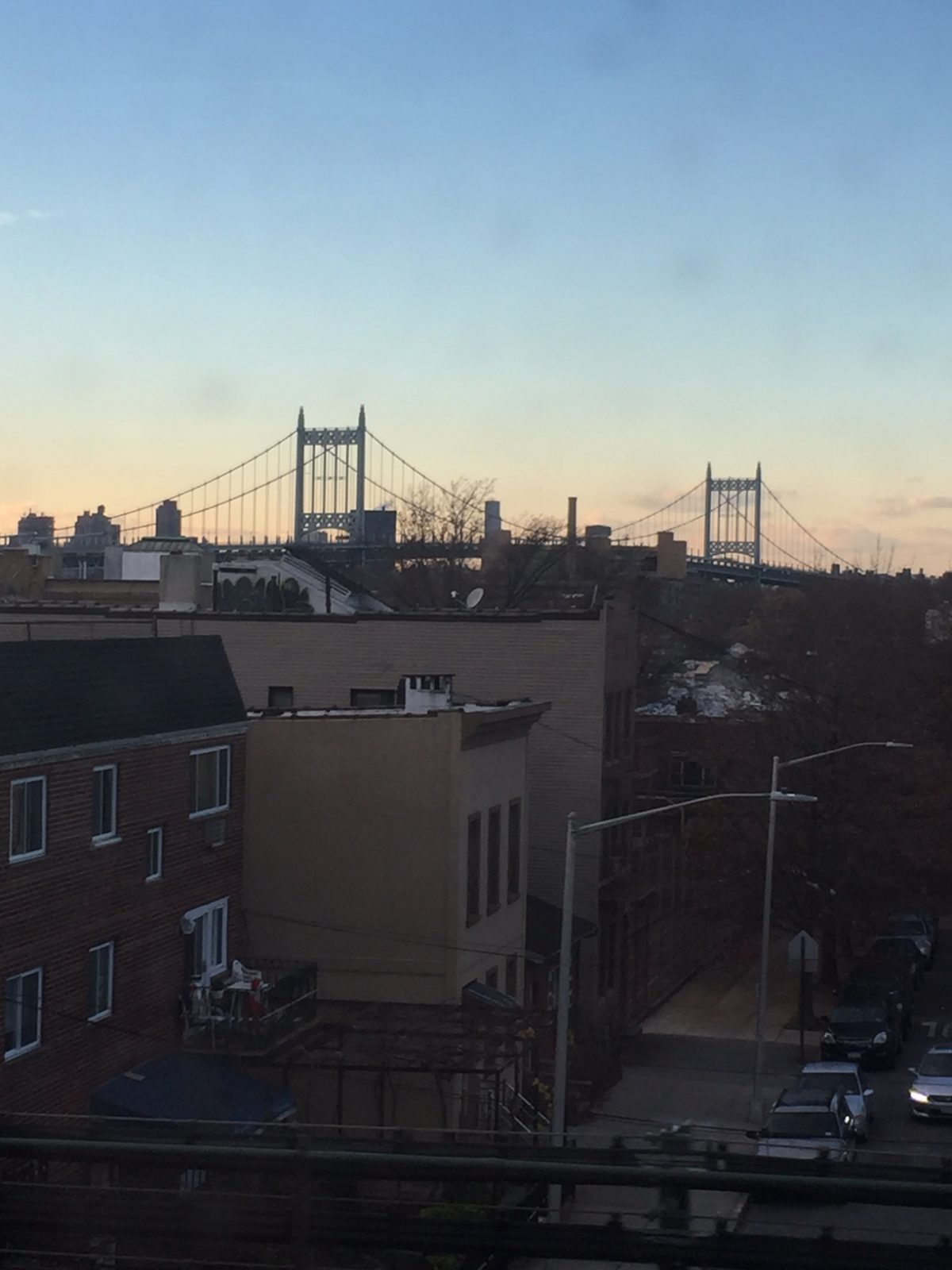
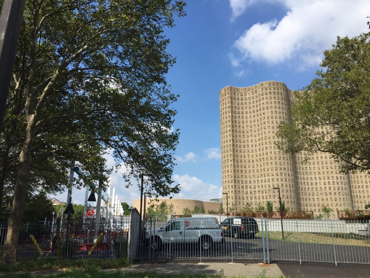
LGA  has a colorful history.  It was the site of an amusement park in its earliest stages, later becoming a civil airfield.  On the way back from a meeting of mayors in Chicago in the 1930s, Mayor Fiorello LaGuardia raised a tantrum on a flight terminating at Newark as he claimed his ticket was for New York and not New Jersey.  This flight was flown (with LaGuardia being the sole passenger) to the military field at Floyd Bennet Field in Brooklyn.  LaGuardia made getting a major airport built in New York as one of his primary objectives.  After he was unable to construct larger airports at Floyd Bennet Field and build an airport on Governor’s Island (both military areas), the civilian airfield in North Queens was expanded for commercial use.  This site was ultimately picked for its closeness to the World’s Fair site at Flushing Meadows-Corona Park and that it could be linked up to Manhattan via the Triborough Bridge and Queens-Midtown Tunnel.  A favorable consideration was that flying boats (which was then how transoceanic flights flew) could land right in the Long Island Sound.  Due to his advocacy for the airport, the city’s Board of Estimate named the airport after LaGuardia, while he was still the sitting mayor, for his advocacy for the airport.  After being the busiest airport in the U.S. for a number of years, the airport was deemed too small in the 1940s.  To cope with increasing traffic, regulations were made that limited the size of commercial airliners and distance they could fly, much like Reagan-National Airport in Arlington, Virginia.  In 2015, the State of New York and the Port Authority announced an aggressive program to completely renovate the airport and build a new terminal.

Around the 1940s when LaGuardia was reaching capacity, the city quietly bought the Idlewild Golf Course in Jamaica, Queens, and began construction of a new airport.  In 1963, the New York International Airport was renamed after President Kennedy, who had been recently assassinated.  Traffic increased at JFK as flights were transferred there from LGA.  The jet age witnessed many extravagant air terminals constructed at JFK—such as the TWA Flight Center and a terminal designed by I.M. Pei for National Airlines, and a Pan-Am Airlines “worldport.”  The TWA Flight Center was saved from demolition, but preservationist efforts to save other terminals failed.  JFK was also the site of a robbery of over $21 million (in today’s value) of cash and jewelry from a Lufthansa Airlines warehouse in 1978.  The crime has never been solved and the goods never found.  Today, 70 airlines flying to every inhabited continent call on JFK.

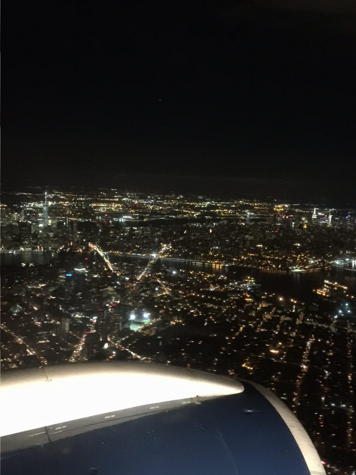
Although the closest you’ll get to the airports on a Sights by Sam tour is seeing jetliners ascend or descend in the sky going to and from the airports, understanding the history of these facilities helps to gain a greater appreciation for the various systems that make New York function.  This is the type of information you will learn on one of my tours.

Roosevelt Island Tramway

Between the East Side of Manhattan and Queens lies Roosevelt Island.  A mostly residential community, this island is mainly famous for its unique tramway and as the location of the ruins of hospitals and other facilities.

Roosevelt Island is connected to Manhattan by the unique aerial tramway that looks like it was built more for a ski resort in the Alps than for New York.  Featured in the climactic scene of Spider-Man and in the beginning of City Slickers, the tramway was opened in 1976 in lieu of a subway station that was to be constructed on the island (finished in the 1980s).  The tramway is a little over 3,000’ long and rises to 250’ over the East River between its terminals at 65th Street and Second Avenue in Manhattan and Roosevelt Island.  The tram stalled in 2006 and was closed to update its safety systems.  A complete renovation of the system was completed in 2010.

Although the Roosevelt Island Tramway was only intended to be temporary, it has become a permanent necessity for residents of the island and those who work nearby in Midtown Manhattan.  In the wake of the L Train shutdown that will occur for the next couple years, there has been talk of a similar aerial tramway system that could connect Brooklyn and Manhattan, in addition to other areas of the city.  While some cost estimates state that it would be cheaper than building a new subway line and keep shipping channels on the East River open, opponents state that it may be too tempting of a terror target and that the pylons needed to support the tramway may be eyesores in their surrounding areas and lead to lower property values.

While not on most visitors’ itineraries, Roosevelt Island is worth the trip alone for the tramway ride, which allows for unparalleled views of Midtown on the south side of the trams.  Although mostly residential, Roosevelt Island may be changing due to the location of a technology campus that is a joint venture between Cornell University and the Technion that is being constructed on the island.  This is the type of information you will learn on a Sights by Sam tour.

New York Hall of Science

Located in Flushing Meadows-Corona Park is the New York Hall of Science (Hall of Science).  This structure dates back from the 1964 World’s Fair.  Along with the Queens Museum, the Hall of Science is on the top of the radar for many visitors to this part of New York and residents of the Borough of Queens.

As I mentioned before, the Hall of Science opened in 1964 for the World’s Fair, which was held in New York in that year through 1965.  After the closure of the fair, the Hall of Science stayed open and showcased the achievements of the various nations in science and space (with an emphasis on the United States).  This remained the basic format of the museum until the 1980s when it was renovated to cover more science-themed exhibits (it had been drifting into exhibiting items about science fiction to bolster attendance numbers).  After the renovation, the museum became one of the first science museums in the U.S. and now has 450 exhibits.  Every year, over 500,000 people come and tour the museum.  The museum has doubled in size since the 1964 World’s Fair.  The Hall of Science’s architecture is famous for the “Great Hall” in the interior, which uses blue stained glass to give the illusion that guests are in outer space when inside the room.

If you are at or near Flushing Meadows-Corona Park, the Hall of Science is worth your time, if only just to look at the fascinating structure.  Children also love the science-themed playground on the museum’s grounds—one of the most popular in the city.  This structure can be visited with a trip to a Mets game at Citi Field, a visit to other structures in Flushing Meadows-Corona Park, or before or after a trip to Flushing Chinatown on the 7 train.  This is the type of information you will learn on a Sights by Sam tour.

Full Steam Under the City

Any visitor or native to the city recognizes the plume of steam trails (often spouting out of orange-white smokestacks in Midtown) escaping from under the city and above the island.  This is the result of a vast steam power and pipe system that crisscrosses Manhattan.

The steam system is operated by Consolidated Edison, the local power company.  Utility customers from Lower Manhattan and Midtown Manhattan have access to the system.  Steam is generated at six small power plants in Manhattan and Queens and is used for heating, cooling, and some industrial processes—including dry cleaning.  It goes through 105 miles of pipes to customers all over the island. The steam is deemed as clean—some Manhattan hospitals use it to sterilize equipment.  The steam is generated as a byproduct of burning oil for power.  Every year, over 20 million pounds of steam is generated for industrial, commercial, and residential use.

The steam system has been in operation since the 1880s.  Although it is constantly being maintained, there have been several notable incidents, such as a major explosion in 2007, which caused a plume of steam to rise higher than the Chrysler Building (meaning it was higher than 1049 feet tall). These incidents are thankfully rare. Steam is used without incidence year round as it helps to alleviate pressure on the city’s power grid.   Natives and visitors to the city often come in contact with this fascinating aspect of Manhattan every day in an indirect manner.  This is the type of information you will learn on a Sights by Sam tour.