Airports of the City

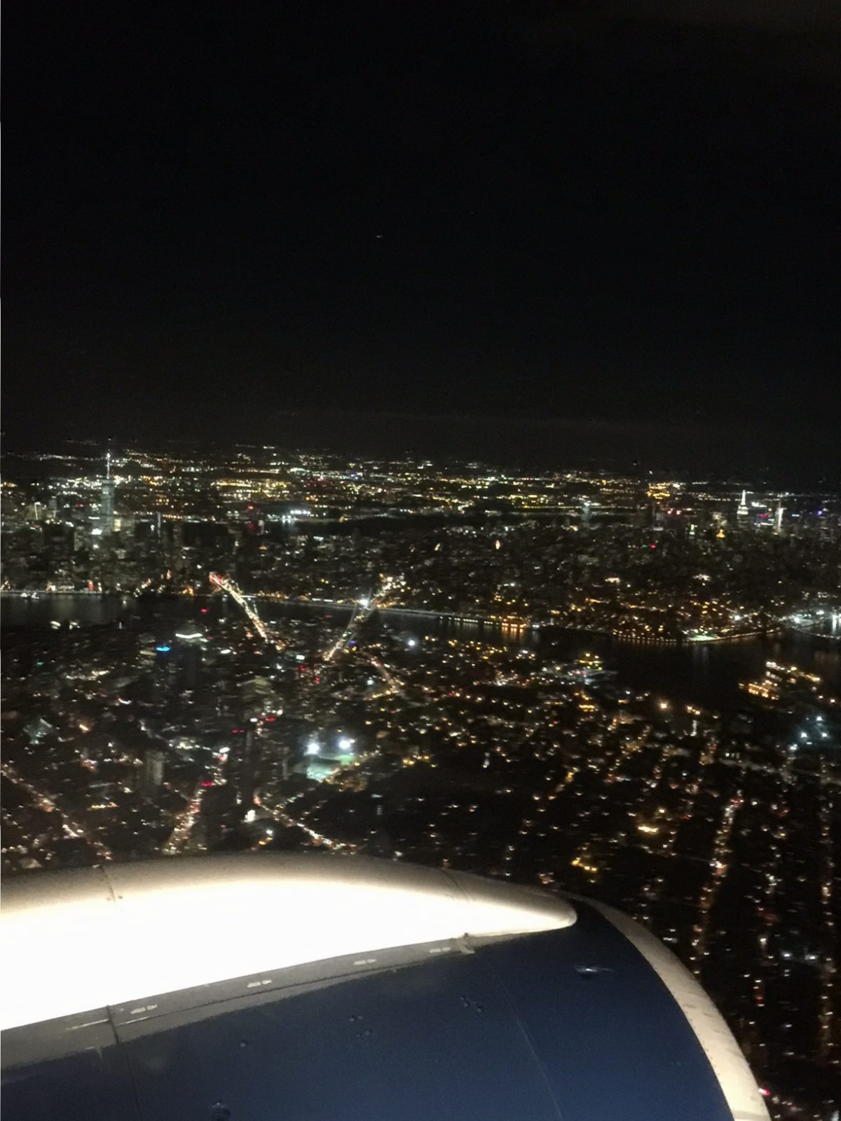
Airports have today replaced train stations as the gateways into the city.  Each year, millions of people stream into New York’s two airports: LaGuardia (LGA) and John F. Kennedy International (JFK), both located in Queens.  Additional travelers make their way into the city from Newark-Liberty International (EWR), close by in New Jersey.  All three make it into the top ten most used in the U.S., with JFK being the nation’s main international gateway.  All three airports are today managed by the Port Authority of New York and New Jersey.

EWR, sitting just south of Newark, New Jersey, was the first airport constructed in the metro area in 1928.  It retained the title of the world’s busiest until 1939, when LGA was opened.  It was briefly used as a military base during World War II by the Army Air Force.  EWR was renamed Newark-Liberty International after the attacks of September 11, 2001.  In the mid 2000s, it was briefly the site for the world’s longest nonstop flight—a run by Singapore Airlines to Singapore that took between 18 and 19 hours.  This flight was phased out due to being unprofitable.

LGA  has a colorful history.  It was the site of an amusement park in its earliest stages, later becoming a civil airfield.  On the way back from a meeting of mayors in Chicago in the 1930s, Mayor Fiorello LaGuardia raised a tantrum on a flight terminating at Newark as he claimed his ticket was for New York and not New Jersey.  This flight was flown (with LaGuardia being the sole passenger) to the military field at Floyd Bennet Field in Brooklyn.  LaGuardia made getting a major airport built in New York as one of his primary objectives.  After he was unable to construct larger airports at Floyd Bennet Field and build an airport on Governor’s Island (both military areas), the civilian airfield in North Queens was expanded for commercial use.  This site was ultimately picked for its closeness to the World’s Fair site at Flushing Meadows-Corona Park and that it could be linked up to Manhattan via the Triborough Bridge and Queens-Midtown Tunnel.  A favorable consideration was that flying boats (which was then how transoceanic flights flew) could land right in the Long Island Sound.  Due to his advocacy for the airport, the city’s Board of Estimate named the airport after LaGuardia, while he was still the sitting mayor, for his advocacy for the airport.  After being the busiest airport in the U.S. for a number of years, the airport was deemed too small in the 1940s.  To cope with increasing traffic, regulations were made that limited the size of commercial airliners and distance they could fly, much like Reagan-National Airport in Arlington, Virginia.  In 2015, the State of New York and the Port Authority announced an aggressive program to completely renovate the airport and build a new terminal.

Around the 1940s when LaGuardia was reaching capacity, the city quietly bought the Idlewild Golf Course in Jamaica, Queens, and began construction of a new airport.  In 1963, the New York International Airport was renamed after President Kennedy, who had been recently assassinated.  Traffic increased at JFK as flights were transferred there from LGA.  The jet age witnessed many extravagant air terminals constructed at JFK—such as the TWA Flight Center and a terminal designed by I.M. Pei for National Airlines, and a Pan-Am Airlines “worldport.”  The TWA Flight Center was saved from demolition, but preservationist efforts to save other terminals failed.  JFK was also the site of a robbery of over $21 million (in today’s value) of cash and jewelry from a Lufthansa Airlines warehouse in 1978.  The crime has never been solved and the goods never found.  Today, 70 airlines flying to every inhabited continent call on JFK.

Although the closest you’ll get to the airports on a Sights by Sam tour is seeing jetliners ascend or descend in the sky going to and from the airports, understanding the history of these facilities helps to gain a greater appreciation for the various systems that make New York function.  This is the type of information you will learn on one of my tours.

City Reliquary 

When I was in high school history, teachers were moving gradually away from teaching names, dates, and important events as the only things going on in history.  The new emphasis was on social history, which depicted how normal people lived during historical times and how events affected them.  I was relieved that I no longer had to memorize that the Erie Canal was completed in 1825, but now learned more about revival movements in Upstate that were sweeping through the populace at the time.

New York is unrivaled by nearly every other city in terms of the richness and diversity of its museums.  While I am very interested in history, and hope that those who take Sights by Sam tours have at least a passing interest in the subject, the great masses of immigrants and arrivals are the biggest part of who made New York what it is today.  While great monuments and museums were built by some of the most well known New Yorkers, what of the eight million stories out there of its citizens?

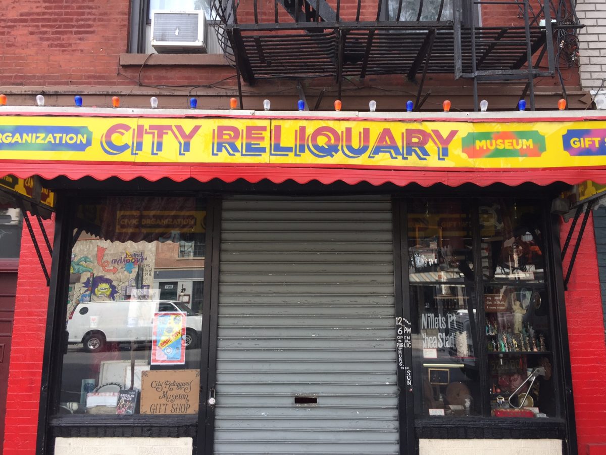
Enter the City Reliquary.  Located in Williamsburg in Brooklyn, the museum is only a small storefront.  The main gallery of the reliquary contains a permanent exhibit of the everyday objects of the city and its people.  The City Reliquary contains a collection of neon signs, subway signs, World’s Fair memorabilia, items manufactured in the city, and all sorts of other knickknacks.  There is also a temporary exhibition hall that has changing exhibits pertaining to topics ranging from doughnuts to artworks.

Although not on the itinerary of most tourists, the City Reliquary is a worthwhile walk off of the beaten track.  The museum is in Williamsburg, which has become somewhat of a hipster haven in recent years—with many interesting shops and restaurants located not far from the Reliquary.  Consider taking a tour through this area with Sights by Sam to learn about this and other locations worth knowing in New York.

Museum of the City of New York

New York City has not one but two historical museums about the city.  With the New-York Historical Society on the Upper West Side, the Museum of the City of New York (MCNY) guards the Upper East Side.

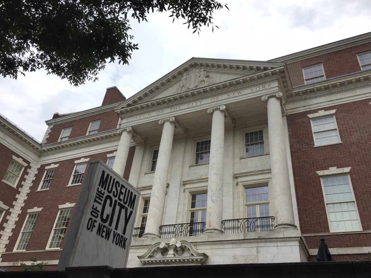
The MCNY was founded in 1923 to preserve the history of the city.  It has moved around several times, including briefly occupying Gracie Mansion (the Mayor of New York’s residence—more on this in a future entry).  The current museum is a purpose-built structure that was completed in 1932.  The collection of the museum contains 1.5 million objects.  The most notable of these are a collection of children’s toys and period rooms of different stages in New York’s history.

The most notable reason to visit this museum are the temporary exhibits about the city’s history.  Exhibits have been done on baseball in New York, subway graffiti, the grid plan of Manhattan, and the Landmarks Preservation Commission to name but a few.  The museum’s gift shop carries an incredible assortment of books about the city—including catalogues of the many temporary exhibits.

The MCNY sits far up on Fifth Avenue at the edge of the world-famous “Museum Mile” district.  The MCNY and other attractions important to the city are pointed out on any Sights by Sam tour.

Little Italy

Since the arrival of many Italian immigrants in the 1800s, Italian-Americans have been one of the most important groups in the city—with many famous people in the city—such as mayors and athletes among them.  Although today most Italian Americans in the city live in the Bronx, Brooklyn, and Staten Island, the center of the Italian universe in New York was once Little Italy in Lower Manhattan.

Italians started coming to New York in the mid and  late 1800s in large numbers.  Many were fleeing from the wars of Italian unification and hard economic times in Southern Italy (Naples, Calabria, and Sicily) to find safety and jobs in the U.S.  Many Italians settled in Lower Manhattan from south of Canal Street to Houston Street.  At one point, there were tens of thousands of Italians in this area.  Italian-American businesses such as restaurants, bakeries, and banks proliferated in the area.  New arrivals to the neighborhood slowed to a trickle after the federal Immigration and Nationality Act of 1924 (repealed in the 1960s) put strict quotas on the number of immigrants from Southern and Eastern Europe into the U.S.

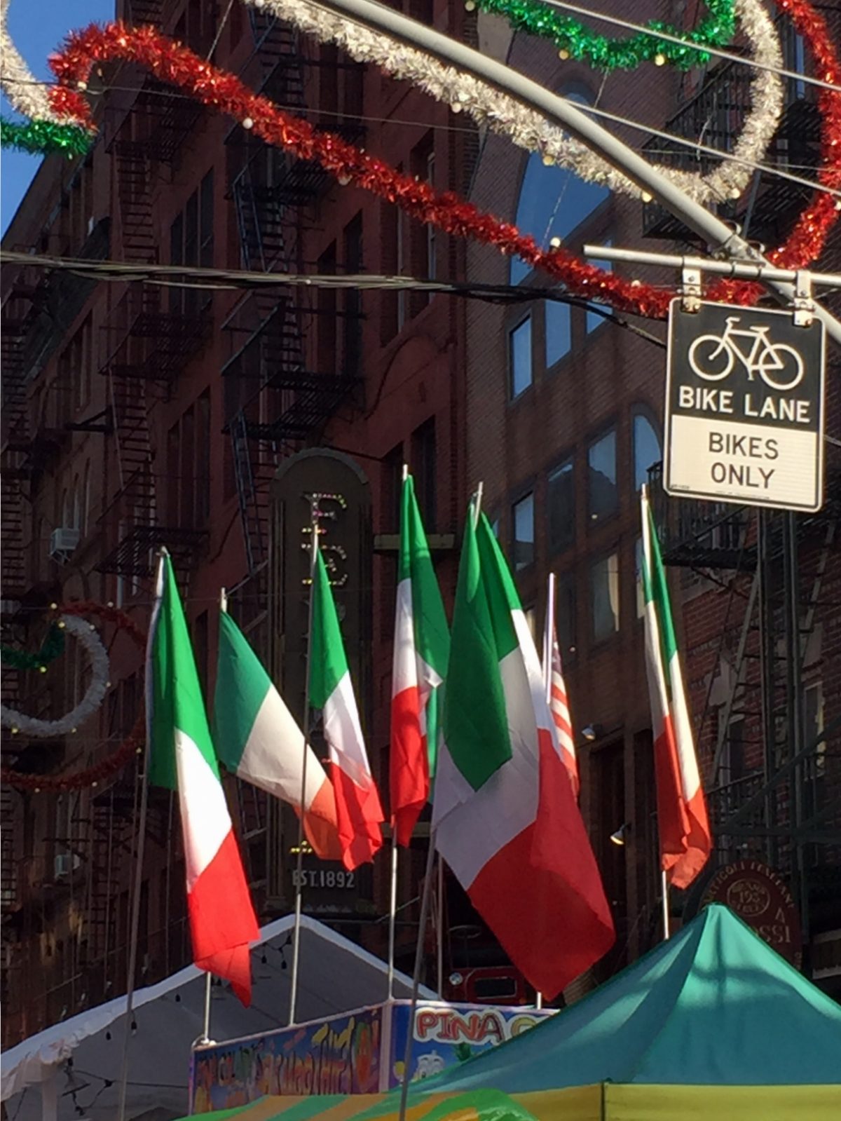
As Italian Americans became more integrated with the larger society, people in the neighborhood became more upwardly mobile and left.  This occurred at the same time as the Chinese population began to rapidly expand, with Chinese and Chinese-Americans moving into the area known as Little Italy.  Although the population of Italian Americans is now less than 1200 in the area, it is still famous as a center for Italian life in the city, hosting many famous restaurants and the annual Festival of San Gennaro (the patron saint of Naples, Italy).  You can see Little Italy today on the “Lost in the Lower East Side” tour from Sights by Sam.

Upper East Side

Long associated as a fashionable residential area, the Upper East Side of New York conjures up images of doorman apartments and residents walking little dogs. The neighborhood, stretching from 59th Street to 96th Street between 5th Avenue and the East River is among one of the wealthiest areas of the United States—and its electoral districts for Albany and Washington were once called the “Silk Stocking District.”

Once a rugged area with sparse population through the native and colonial eras, the Upper East Side started to grow in the lead up to the Civil War and immediately afterward. The area was demarcated in the grid of Manhattan and was also used for railroad tracks coming into New York. The railroad would eventually be covered up by a tunnel running under Park Avenue. In the late 1800s, wealthy families such as the Astors, Fricks, Roosevelts, and Rockefellers, among others, would locate their residences in this part of the city, building many mansions (the Frick Collection and the Villard Mansion are two of the only survivors). In time, luxurious apartment buildings would be constructed all over the district. While the area is famous for having a reputation as a very wealthy area, there are still vestiges of a Central European community (Germans, Austrians, Czechs, and Hungarians) in the northern part of the neighborhood during the early 1900s.

Among visitors, the Upper East Side is famous for being the location of Museum Mile, which contains some of the greatest museums in New York and in the country. The neighborhood is also bordered by Central Park, one of the most famous parks in the world. As another superlative, the mayor of New York lives at the restored Gracie Mansion in the upper reaches of the neighborhood in Carl Schurz Park. In addition to the area’s many landmarks, a very prestigious shopping district runs up and down Madison Avenue through the neighborhood. This is the type of information you will learn on a Sights by Sam tour.

Rockefeller Center

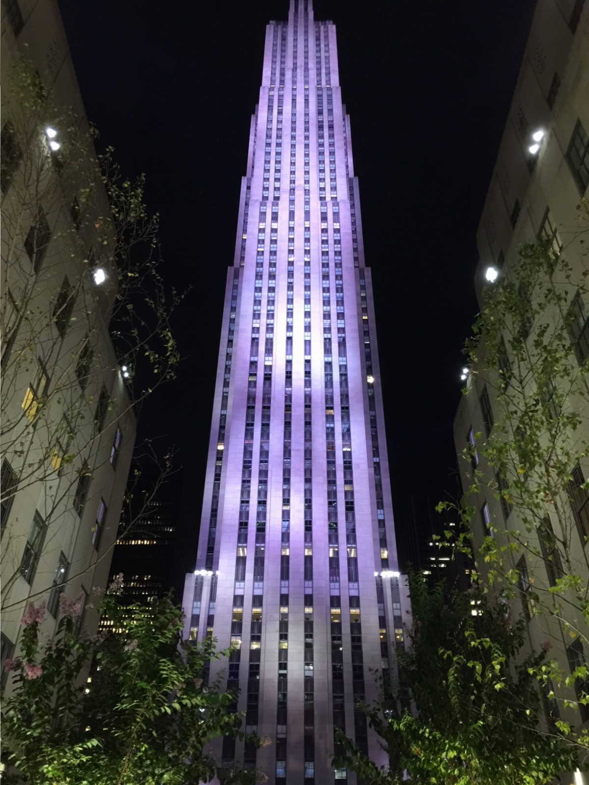
The first “city-within-a-city” designed in the world, site of New York’s Christmastime fun (where the tree and the ice rink live), and the headquarters for NBC Universal (and site of the Today Show), Rockefeller Center forms an important part of Midtown and is a tourist destination all year long.

The Rockefeller Center complex contains 19 buildings and covers 22 acres.  It was financed by the Rockefeller Family with the original intent to build a new Metropolitan Opera.  When the Great Depression hit, the focus of the project changed to a commercial development.  The centerpiece of Rockefeller Center is 30 Rockefeller Center (called 30 Rock), which is 872 feet tall and the headquarters of NBC.  This is also the site of the 30 Rock observation deck.  The Rainbow Room supper club is also in this building.  In front of 30 Rock is the square where ice skating is held in the winter.  30 Rock and most of the other buildings were designed by Raymond Hood in the art deco style.

Aside from the observation deck and shopping in and around the complex, the star attraction of the area is Radio City Music Hall.  This theater, which seats 6,000 is known for its dancing spectaculars, starring the Rockettes dancers.  The stage is known for having a stylized sunset.

Rockefeller Center, a complex built at the height of the Great Depression by one of New York’s most prominent families, helped renew Midtown Manhattan.  The area, long a center of media, also known for its modern art, leisure pursuits, and nearby shopping opportunities, continues to be a focal point near the center of the island that forms the center of the known world.  This complex can be seen on a Sights by Sam walking tour.

Fashion and the City

As the preeminent city in the U.S., New York has always been a trendsetter of sorts for fashion and the clothing industry in the U.S.  As a major port and population center, and with people hailing from all over the world, it is only natural that New York would be on the leading edge of clothing and fashion trends.  It is estimated that the garment industry provides billions of dollars in wags and at least one billion in tax revenue for the city.

New York’s fashion industry started in the Antebellum Era after the War of 1812.  In this era, most people made their own clothes, so New York firms made clothes that were ready made for industrial and agricultural purposes—and controversially for Southern plantations and their slaves.  The Civil War turned New York into a center of clothing manufacturing as military uniforms for the North were churned out by New York City firms.  This was a key component of many New York clothing firms until World War II, when uniform production was moved to more inexpensive firms in the Southern U.S. (Mayor LaGuardia lodged several complaints to President Rosevelt and the War Department during World War II that uniforms were not being massed produced in New York City).

Due to the disruption of the Civil War, rapid industrialization of the country during and after the conflict, and millions of new immigrants arriving, most people started buying clothes instead of making them.  While this trend was led by department stores such as Sears and Macy’s, New York workers helped to supply the nation as whole households were mobilized to create garments.  It was common in Jewish and Italian immigrant families to have the two parents and all the children sewing clothing together in piecemeal fashion for factories or department stores in the home—and families were paid by the number of completed units they sewed.  Manufacturing clothing would soon be done on  massive factory floors, often concentrated in the Garment District just over the West Side boundary in Midtown Manhattan or in factories in the Lower East Side and Chinatown.  Appalling working conditions and low pay led to garment workers becoming very ardent supporters of labor unions, especially in the wake of the Triangle Shirtwaist Fire in 1911, the largest industrial accident in New York City history.  Cheaper clothing manufacturing in foreign countries coupled with rising costs in the U.S. led to most of the clothing industry leaving New York by the 1970s and 1980s.  A shadowy sweatshop clothing industry unofficially continued in Manhattan Chinatown until the early 2000s when the sweatshops were shut down in the wake of restrictions on trucks entering Lower Manhattan after September 11, 2001.

Despite the fact that there is not widespread clothing manufacturing in the city anymore, the city is still a fashion capital.  New York is still home to several large design houses, two fashion weeks, and the Fashion Institute of Technology (founded in 1944) help to keep New York at the forefront of the world’s fashion and garment industry.  This is the type of information you will learn on a Sights by Sam tour.

Roosevelt Island Tramway

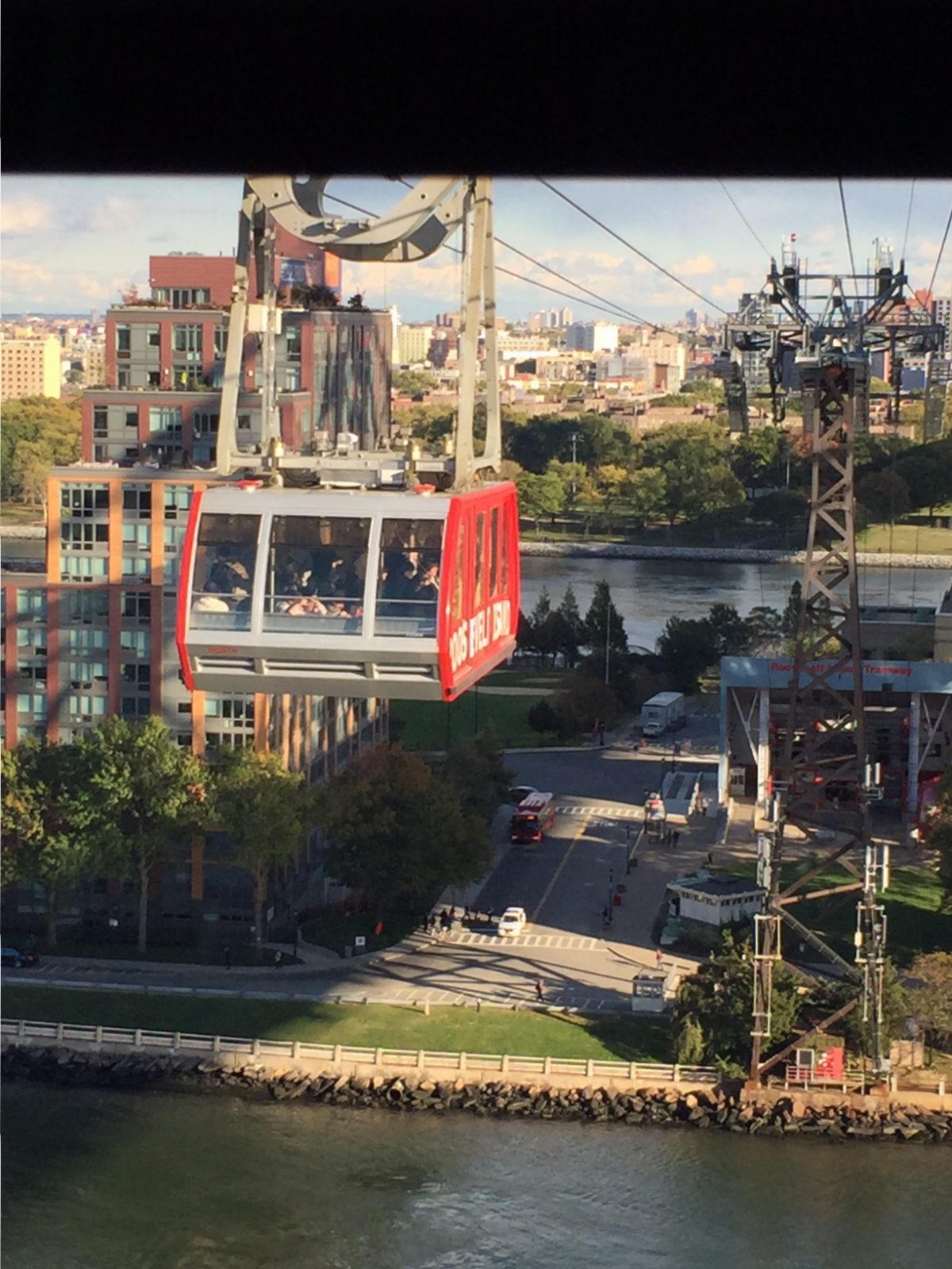
Between the East Side of Manhattan and Queens lies Roosevelt Island.  A mostly residential community, this island is mainly famous for its unique tramway and as the location of the ruins of hospitals and other facilities.

Roosevelt Island is connected to Manhattan by the unique aerial tramway that looks like it was built more for a ski resort in the Alps than for New York.  Featured in the climactic scene of Spider-Man and in the beginning of City Slickers, the tramway was opened in 1976 in lieu of a subway station that was to be constructed on the island (finished in the 1980s).  The tramway is a little over 3,000’ long and rises to 250’ over the East River between its terminals at 65th Street and Second Avenue in Manhattan and Roosevelt Island.  The tram stalled in 2006 and was closed to update its safety systems.  A complete renovation of the system was completed in 2010.

Although the Roosevelt Island Tramway was only intended to be temporary, it has become a permanent necessity for residents of the island and those who work nearby in Midtown Manhattan.  In the wake of the L Train shutdown that will occur for the next couple years, there has been talk of a similar aerial tramway system that could connect Brooklyn and Manhattan, in addition to other areas of the city.  While some cost estimates state that it would be cheaper than building a new subway line and keep shipping channels on the East River open, opponents state that it may be too tempting of a terror target and that the pylons needed to support the tramway may be eyesores in their surrounding areas and lead to lower property values.

While not on most visitors’ itineraries, Roosevelt Island is worth the trip alone for the tramway ride, which allows for unparalleled views of Midtown on the south side of the trams.  Although mostly residential, Roosevelt Island may be changing due to the location of a technology campus that is a joint venture between Cornell University and the Technion that is being constructed on the island.  This is the type of information you will learn on a Sights by Sam tour.

New York Hall of Science

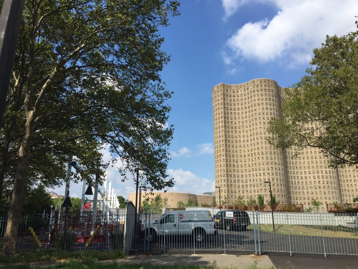
Located in Flushing Meadows-Corona Park is the New York Hall of Science (Hall of Science).  This structure dates back from the 1964 World’s Fair.  Along with the Queens Museum, the Hall of Science is on the top of the radar for many visitors to this part of New York and residents of the Borough of Queens.

As I mentioned before, the Hall of Science opened in 1964 for the World’s Fair, which was held in New York in that year through 1965.  After the closure of the fair, the Hall of Science stayed open and showcased the achievements of the various nations in science and space (with an emphasis on the United States).  This remained the basic format of the museum until the 1980s when it was renovated to cover more science-themed exhibits (it had been drifting into exhibiting items about science fiction to bolster attendance numbers).  After the renovation, the museum became one of the first science museums in the U.S. and now has 450 exhibits.  Every year, over 500,000 people come and tour the museum.  The museum has doubled in size since the 1964 World’s Fair.  The Hall of Science’s architecture is famous for the “Great Hall” in the interior, which uses blue stained glass to give the illusion that guests are in outer space when inside the room.

If you are at or near Flushing Meadows-Corona Park, the Hall of Science is worth your time, if only just to look at the fascinating structure.  Children also love the science-themed playground on the museum’s grounds—one of the most popular in the city.  This structure can be visited with a trip to a Mets game at Citi Field, a visit to other structures in Flushing Meadows-Corona Park, or before or after a trip to Flushing Chinatown on the 7 train.  This is the type of information you will learn on a Sights by Sam tour.

St. Patrick’s Old Cathedral

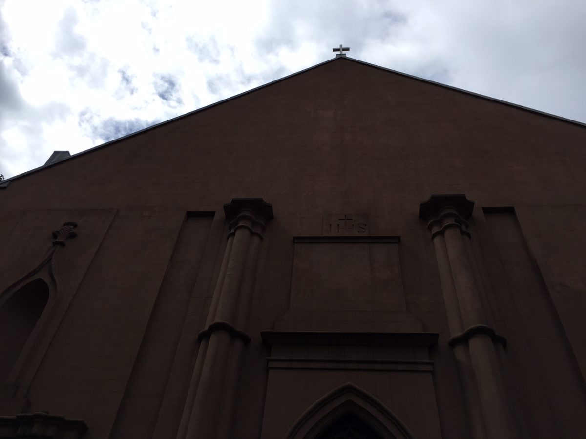
In SoHo, there sits St. Patrick’s Old Cathedral.  The building was deconsecrated as a cathedral when the new St. Patrick’s Cathedral was completed on Fifth Avenue in 1879.  Now a basilica, a site of pilgrimage in the Roman Catholic Church, the old cathedral is a distinct presence in the neighborhood.  The basilica has come into the news recently due to a sale of one of its burial plots (that can hold six) for $7 million (which the basilica will use to restore its pipe organ and other architectural items).

St. Patrick’s Old Cathedral was once the primary place of Roman Catholic worship in the city.  It was designed by Joseph-Francois Mangin, who also designed the New York City Hall, in 1815.  The cathedral had been built on an area that was formerly designated as a Roman Catholic graveyard.  St. Patrick’s Old Cathedral became a focal point for Roman Catholics in the city as their numbers increased in the 1800s, especially with large numbers of Irish immigrants arriving to the city.  In 1836, there was an incident where the cathedral was almost invaded by nativist protestants, but was repelled by worshippers at the church.  After 1879, the old cathedral functioned as a parish church to the surrounding neighborhood before it was declared a basilica in 2010 by Pope Benedict XVI.

In recognition of the changing demographics of its neighborhood, the basilica celebrates mass in English, Spanish, and Mandarin every Sunday.  St. Patrick’s Old Cathedral is important to the history of what is now SoHo.  It also serves as the anchor of markets and a sharp contrast to nearby structures that were built in the later part of he 1800s.  Both the new St. Patrick’s Cathedral and St. Patrick’s Old Cathedral can be seen on a Sights by Sam tour.